Top 10 attractions in Xinjiang, China
- By Xu Lin
 0 Comment(s)
 Print
Print E-mail China.org.cn, November 29, 2011
Koktokay Scenic Spot (可可托海景區)
|
Koktokay Scenic Spot |
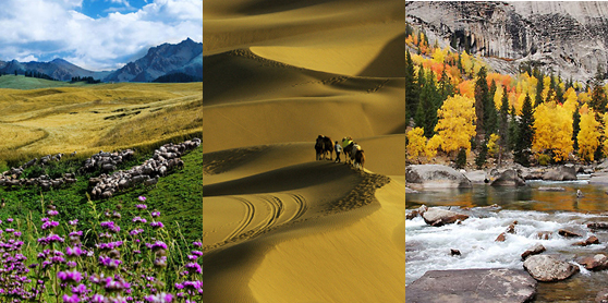
Located in the Altai Mountains, northeast of Fuyun County in Xinjiang, Koktokay Scenic Spot, or Koktokay National Geopark, is an ideal place for sightseeing, vacationing, hiking, photographing and scientific expedition. It is the origin of the Irtysh River, which is the only river in China flowing into the Arctic Ocean. Near the river is the "No. 3 pegmatite", the largest mining pit in the world which has deposits of 84 kinds of minerals. Koktokay means "green forest" in Kazakh language and "blue river bend" in Mongolian, implying that it has been a beautiful place since ancient times.
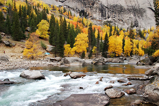
The geopark consists of four major parts: the Irtysh Grand Canyon, Cocoa Sullivan Lake, Ilaymu Lake and Kalaxianger Earthquake Fault Zone. In the Irtysh Grand Canyon, the giant granites in various shapes are distributed along the turbulent Irtysh River. Springs, falls and brooks lie among the white birch forests and grassland. Hiking or riding a horse, visitors could enjoy the natural scenery of the canyon.
Covering an area of 178 hectares, Cocoa Sullivan Lake, also named Wild Duck Lake, is 23 kilometers away from the gate of the geopark. Plenty of aquatic plants and more than 20 floating islands in the lake attract thousands of wild ducks, moorhens and swan gooses every year.
Cocoa Sullivan Lake is a reservoir-lake at the intersection of the Irtysh River and its tributary. With an altitude of 1,120 meters and a depth of 100 meters, the lake water is crystal clear. There is also a large grassland to the south of the lake which supports herds of cattle and sheep.
The Kalaxianger Earthquake Fault Zone was formed by an earthquake happened on August 11, 1931. With the title of "Geology Museum", it is now the most spectacular and most well-preserved earthquake site in the world.
Go to Forum >>0 Comment(s)


